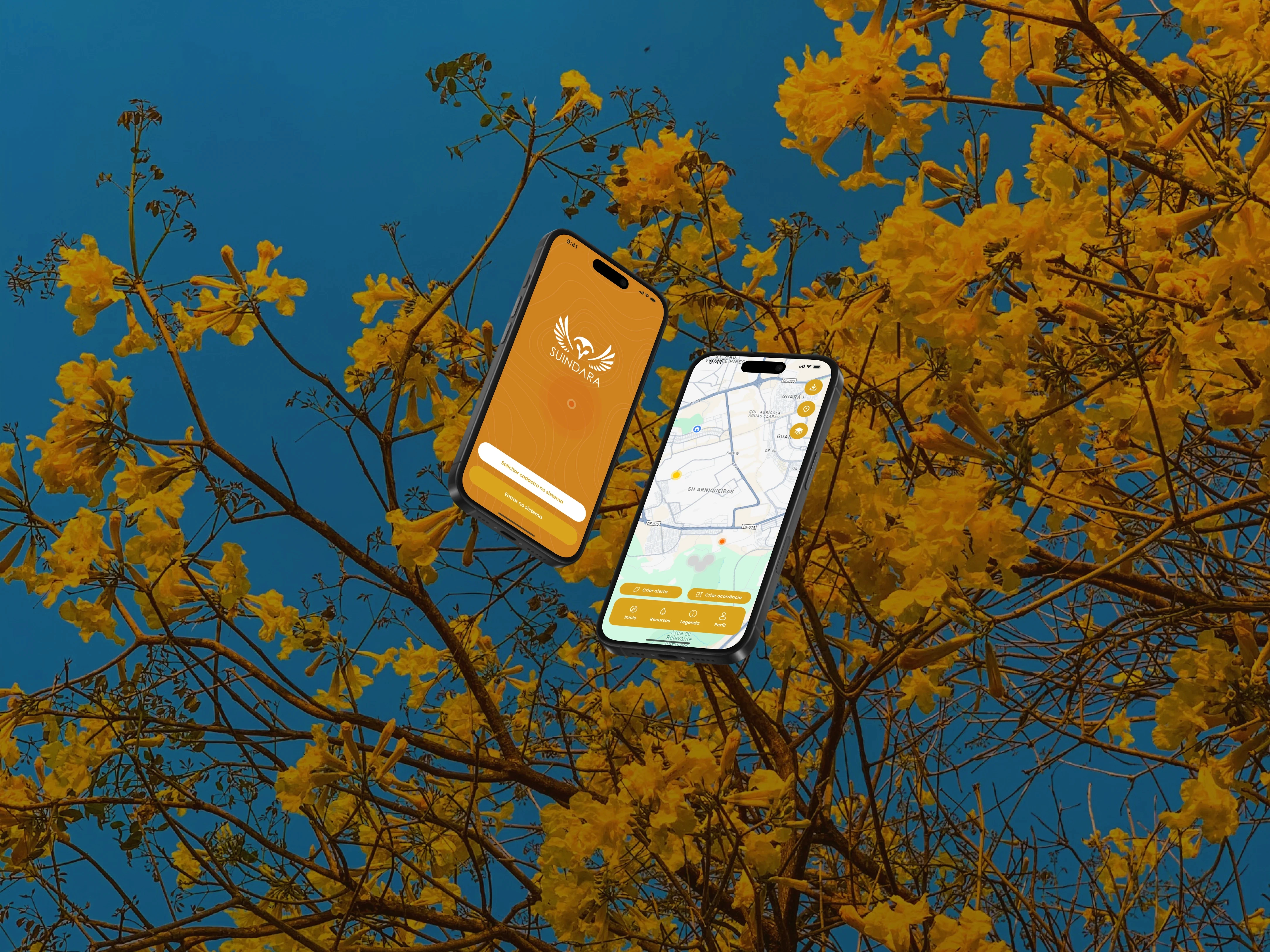
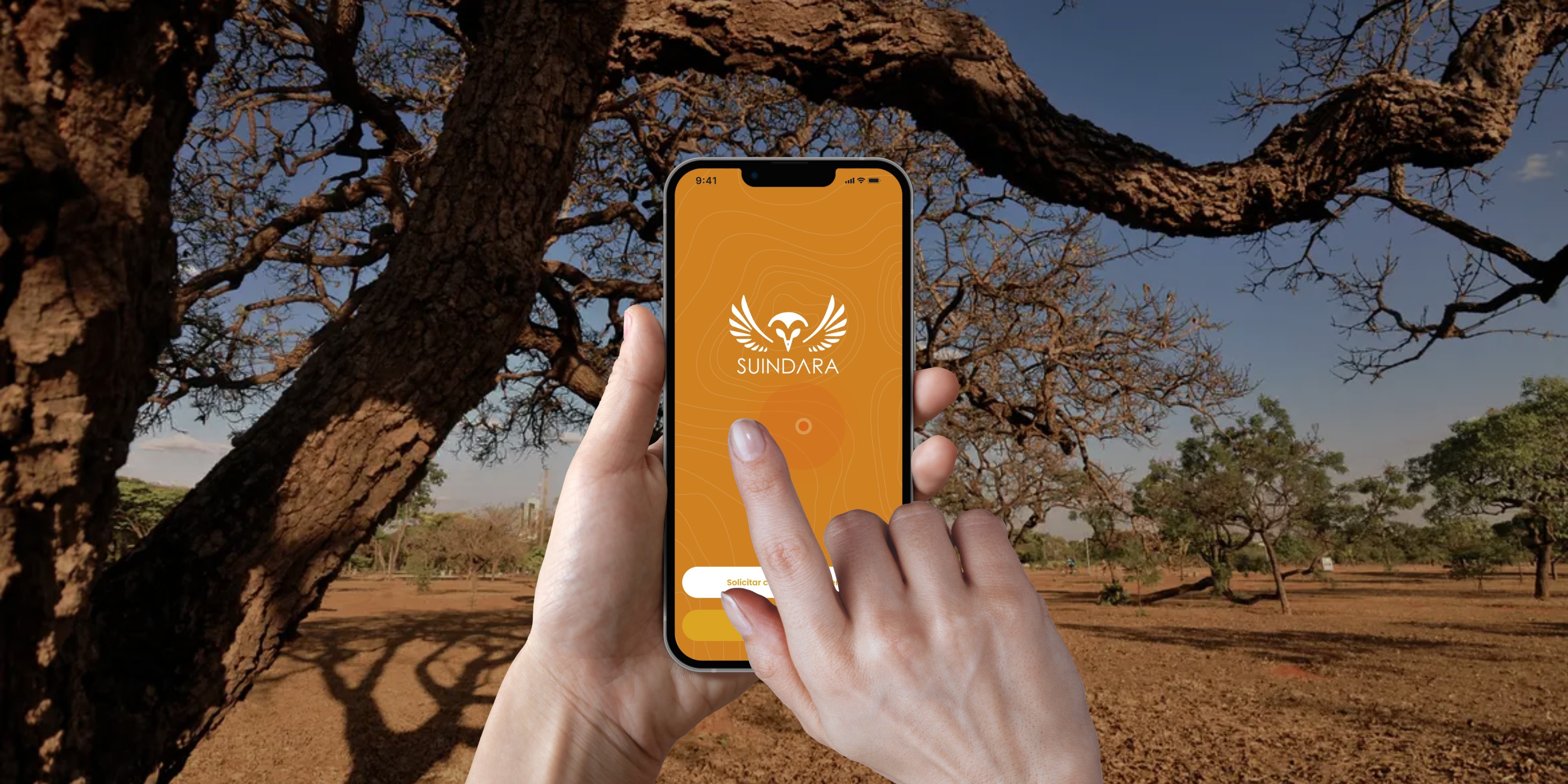
Instituto Cerrados is working to protect 1 million hectares of the Cerrado by 2050, one of the world's most biodiverse and threatened ecosystems. They needed a way to turn everyday people, not just researchers, into active participants in monitoring deforestation, wildfires, and land degradation.
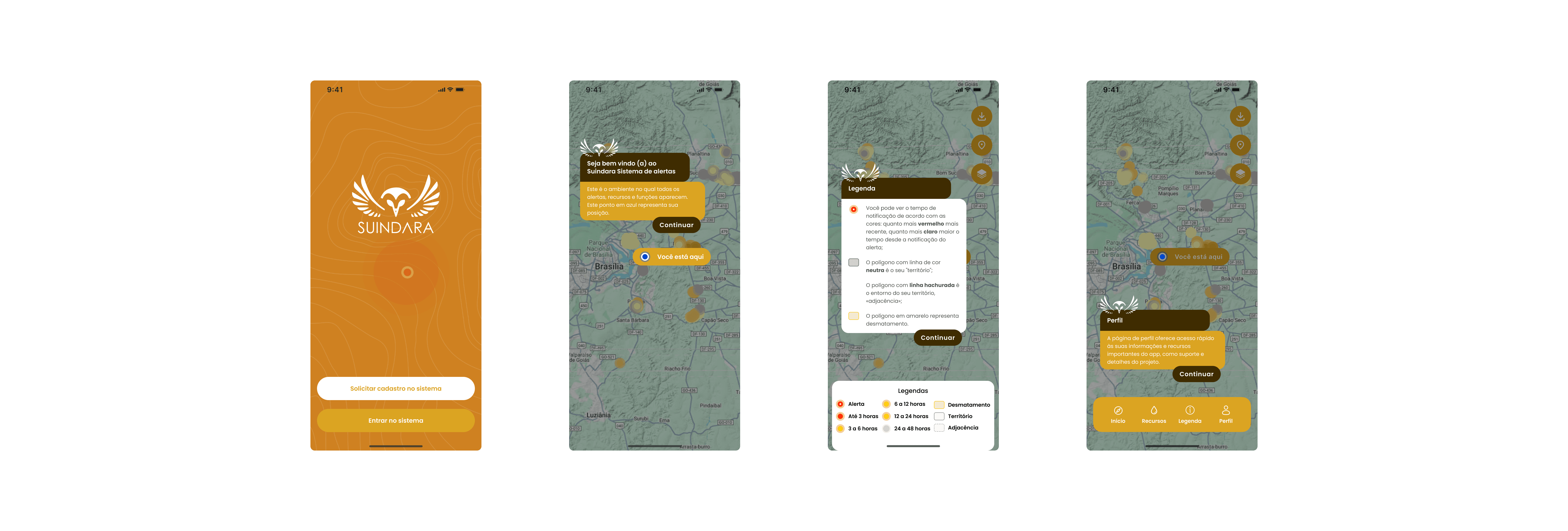
The challenge was designing for people in the field, often with unreliable connectivity, who need to report something urgent (a heat source, a fire risk) in seconds, not minutes. Complexity here isn't a feature, it's a liability.
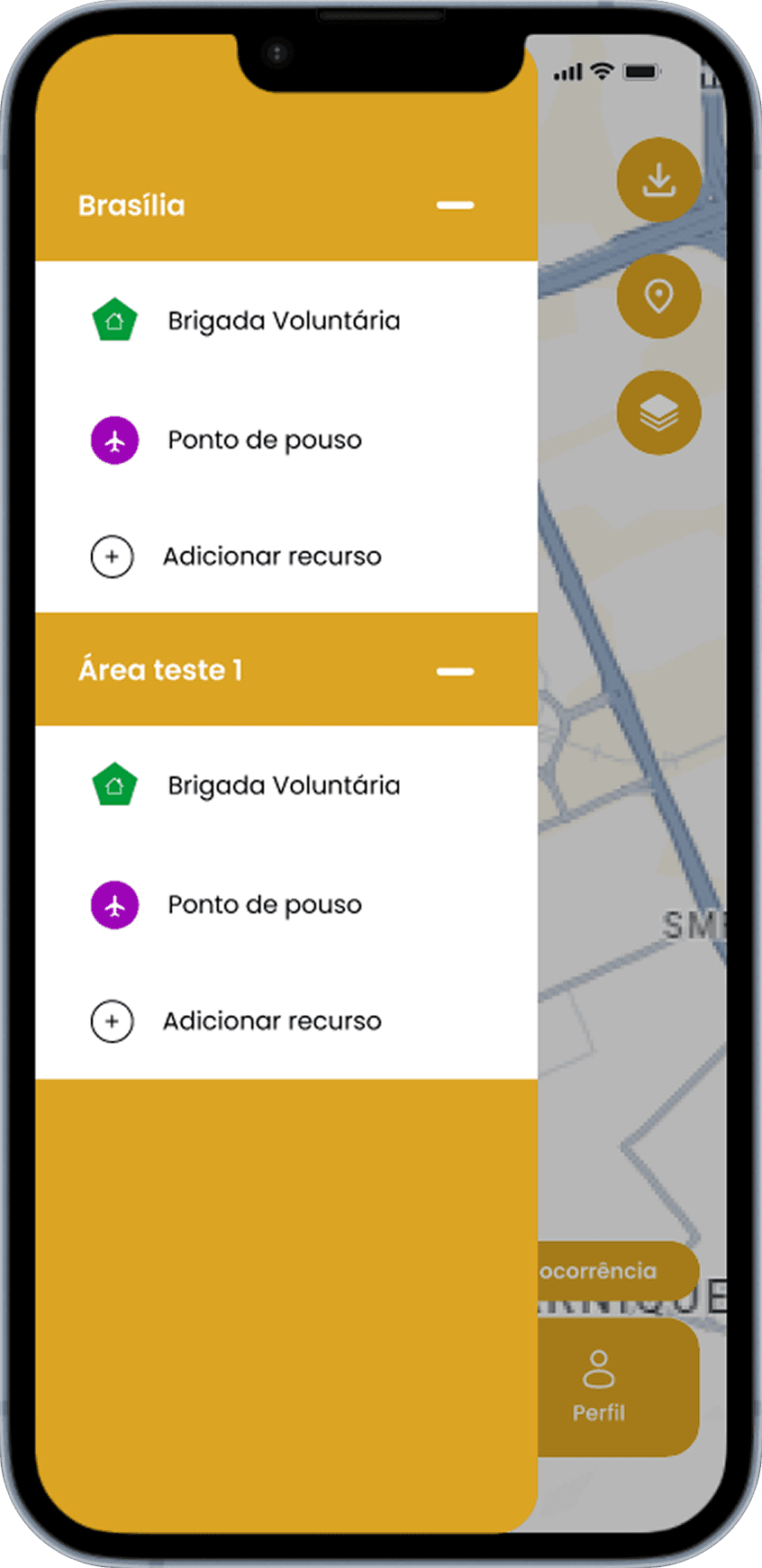
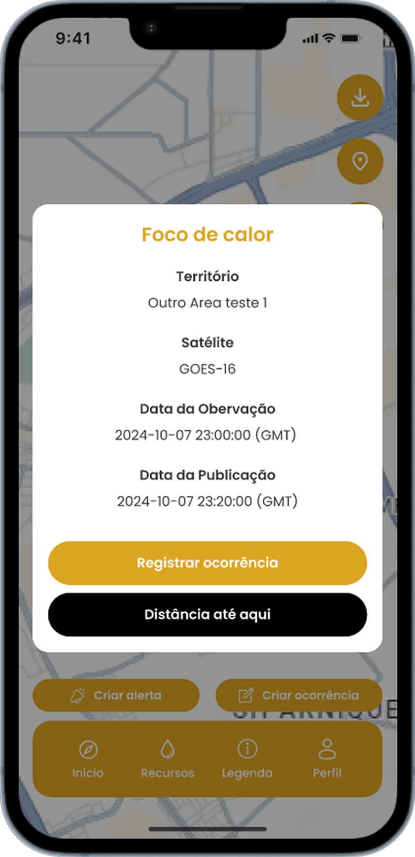
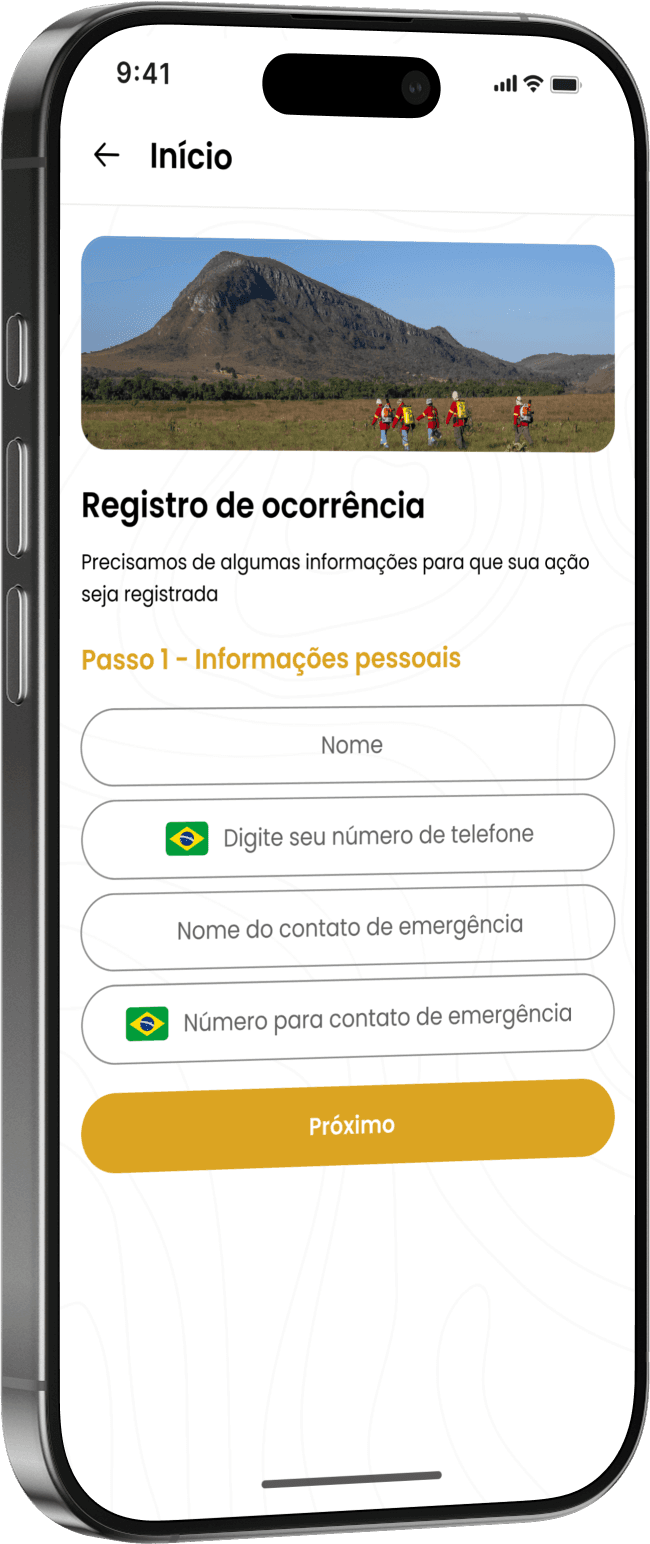
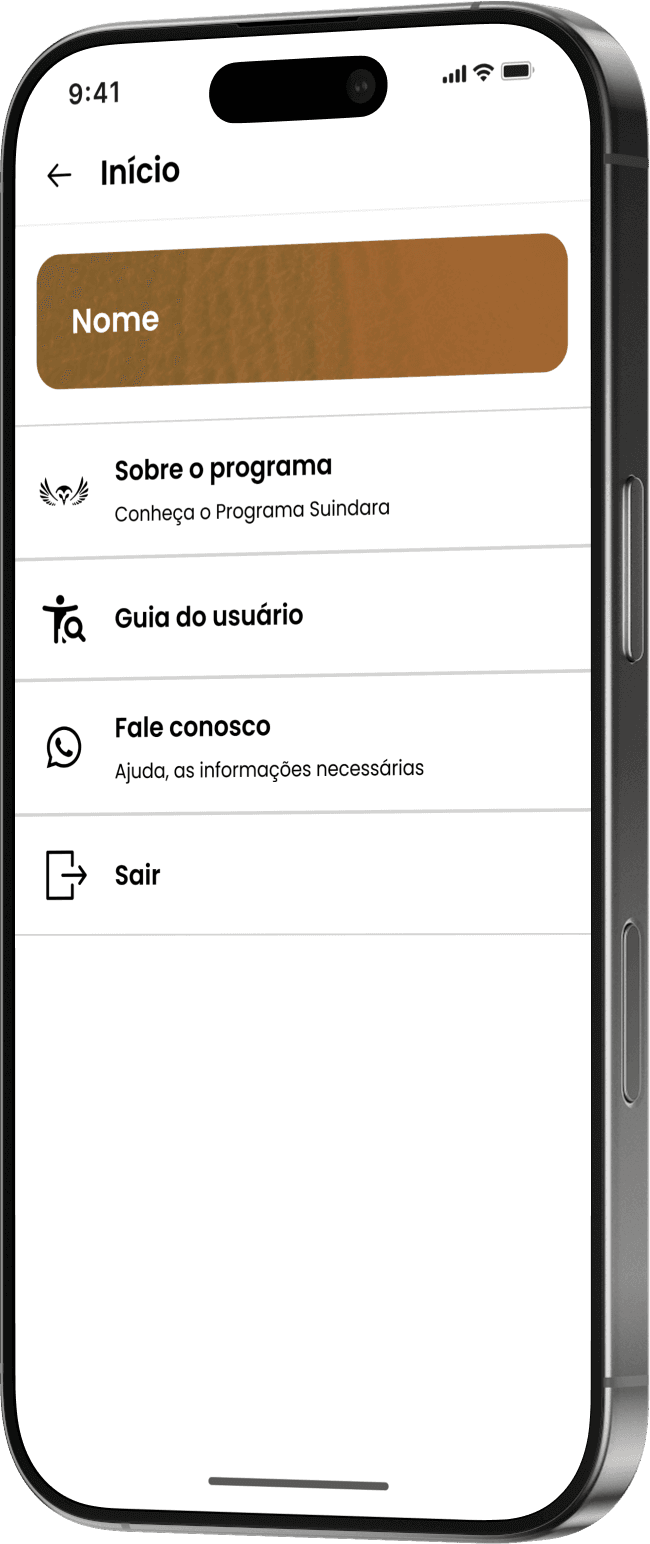
I designed the Suindara app around geolocated, low-friction incident reporting: users report heat sources and fire risks with minimal steps, and receive real-time fire risk forecasts based on climate conditions. Educational content and conservation updates live alongside the reporting tools, so the app functions as both an alert system and an entry point into ongoing engagement, not a one-time utility.
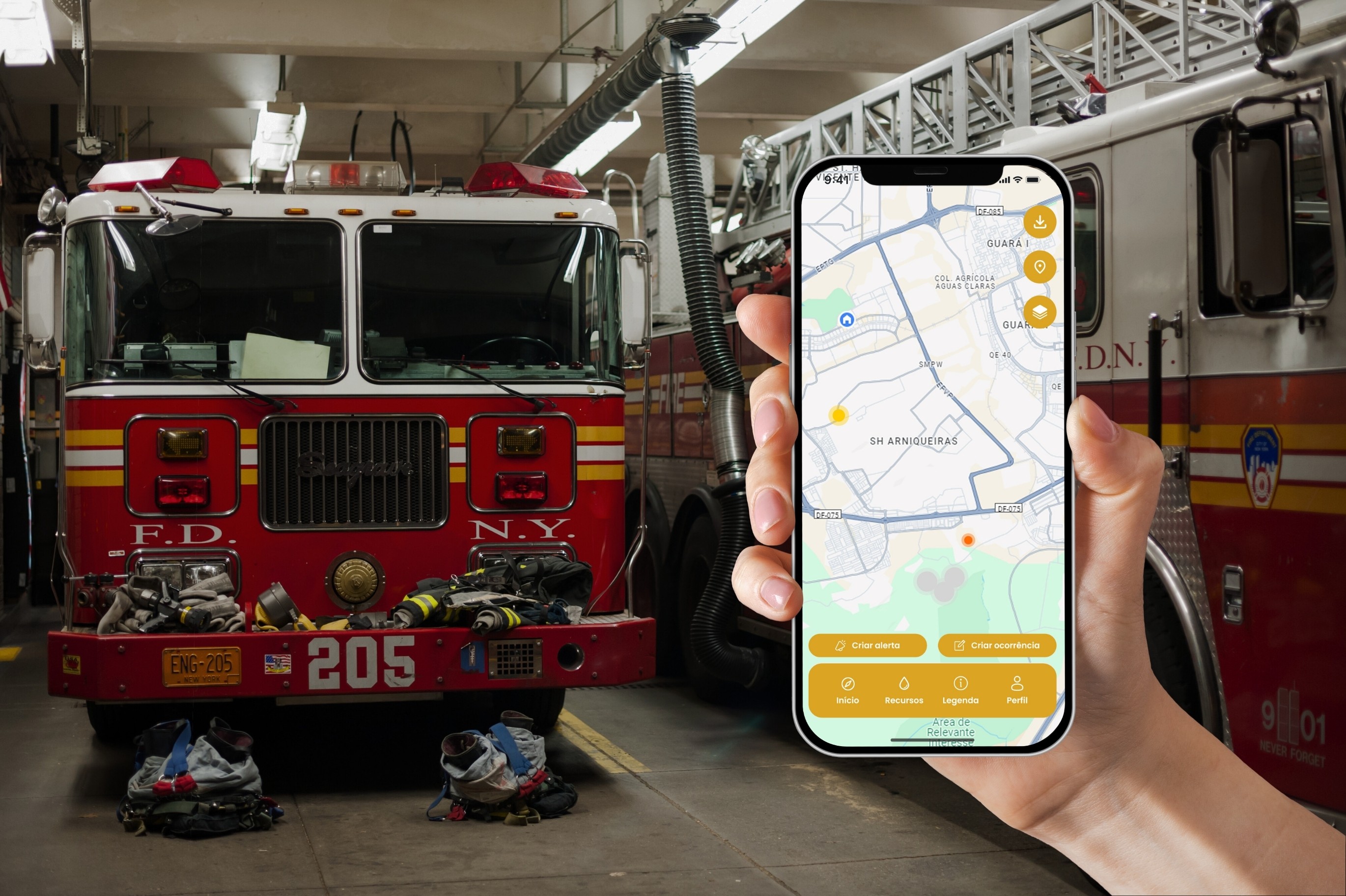
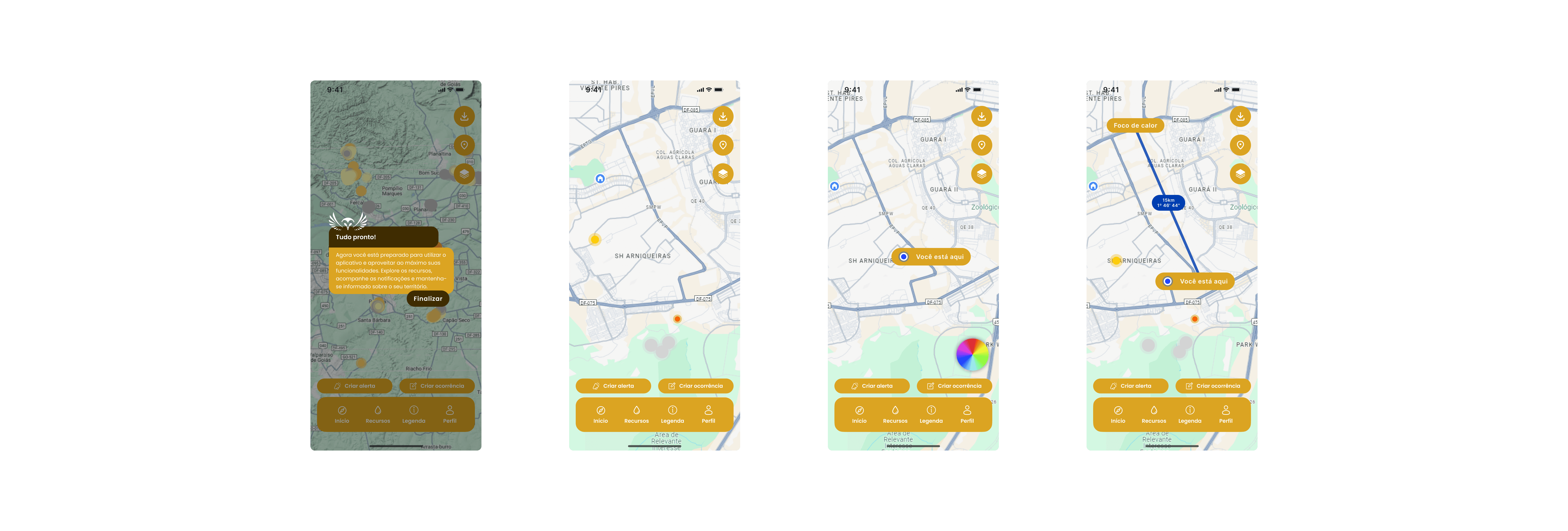
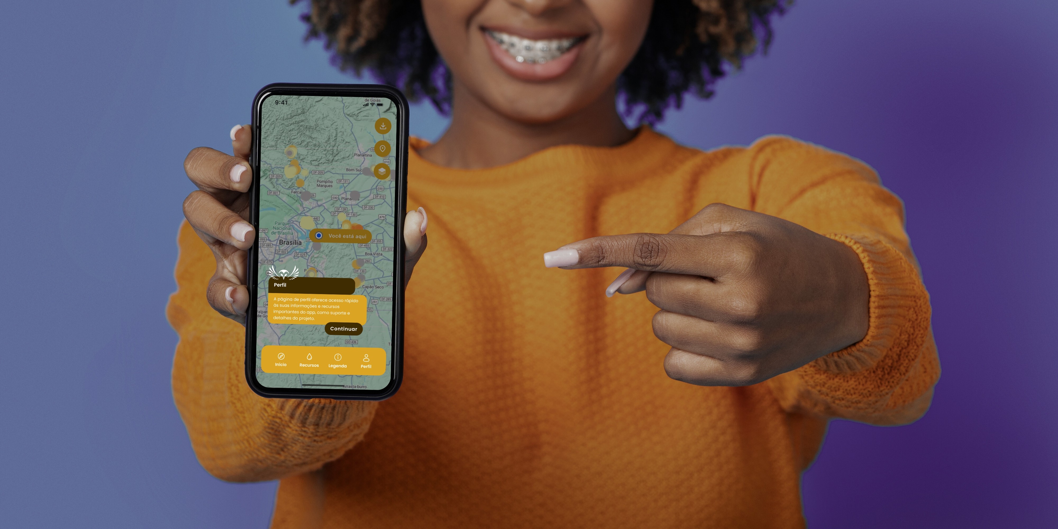
The app gives Instituto Cerrados a distributed monitoring network built on public participation rather than relying solely on institutional resources to cover a massive geographic area.
Tools: Figma, geolocation-based interaction design